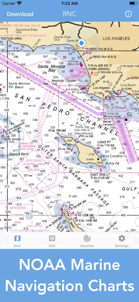
Nautical Charts & Maps 1.12
Continue to app
Paid Version
Publisher Description
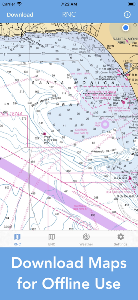
+ Download all charts for offline use
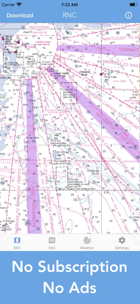
- No subscription
- No in-app purchases
Main Features Include:
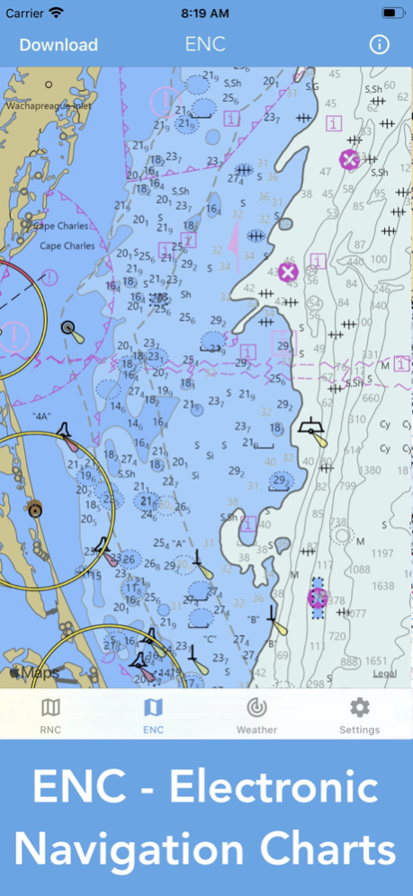
+ NOAA Electronic Navigational Charts (ENC)
+ NOAA Weather Map Overlays
-- ELECTRONIC NAVIGATION CHARTS --
Electronic Navigational Charts (ENC) are vector data sets that support all types of marine navigation.
+ All charts are available to download for offline use
+ Chart format options include: NOAA, ECDIS
ENC charts display the following information:
+ Buoys, Beacons, Lights, Fog Signals, Radar
+ Natural and Man-Made Features
+ Services and Small Craft Facilities
+ Seabed, Obstructions, Pipelines
+ Depths, Currents
+ Port Features
+ Traffic Routes
+ Special areas
NOAA updates the ENCs for Notice to Mariners on a weekly basis. Timing of their availability is not guaranteed.
The ENC charts displayed in this app does NOT meet federal chart carriage regulations for regulated vessels.
Users should consult the Code of Federal Regulations for current federal chart carriage requirements.
-- NOAA WEATHER MAP OVERLAYS --
+ Weather Radar
+ Sea Surface Temperature
+ Significant Wave Height
+ Wind Speed & Direction
+ 12-Hour Rain Probability
+ Lightning Strike Density
+ Air Temperature
If you have any questions, please email support@lwbrandsllc.com
Apr 1, 2024
Version 1.12
+ Fixed a few minor bugs
Thank you for the positive feedback!
About Nautical Charts & Maps
Nautical Charts & Maps is a paid app for iOS published in the Recreation list of apps, part of Home & Hobby.
The company that develops Nautical Charts & Maps is LW Brands, LLC. The latest version released by its developer is 1.12.
To install Nautical Charts & Maps on your iOS device, just click the green Continue To App button above to start the installation process. The app is listed on our website since 2024-04-01 and was downloaded 24 times. We have already checked if the download link is safe, however for your own protection we recommend that you scan the downloaded app with your antivirus. Your antivirus may detect the Nautical Charts & Maps as malware if the download link is broken.
How to install Nautical Charts & Maps on your iOS device:
- Click on the Continue To App button on our website. This will redirect you to the App Store.
- Once the Nautical Charts & Maps is shown in the iTunes listing of your iOS device, you can start its download and installation. Tap on the GET button to the right of the app to start downloading it.
- If you are not logged-in the iOS appstore app, you'll be prompted for your your Apple ID and/or password.
- After Nautical Charts & Maps is downloaded, you'll see an INSTALL button to the right. Tap on it to start the actual installation of the iOS app.
- Once installation is finished you can tap on the OPEN button to start it. Its icon will also be added to your device home screen.
